


 The angular measurement accuracy of the device is 1 ", its EDM accuracy for prisms is 1 mm + 1.5 ppm. Accordingly, it is able to meet even the greatest challenges of surveying and engineering.
Its servo control is special, ignoring the wear and friction parts, as the alhidee floats on the electromagnetic field. Thus, the movement of the instrument is silent and almost 120 ° per second.
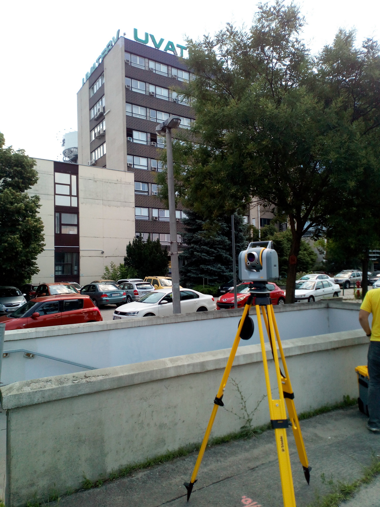
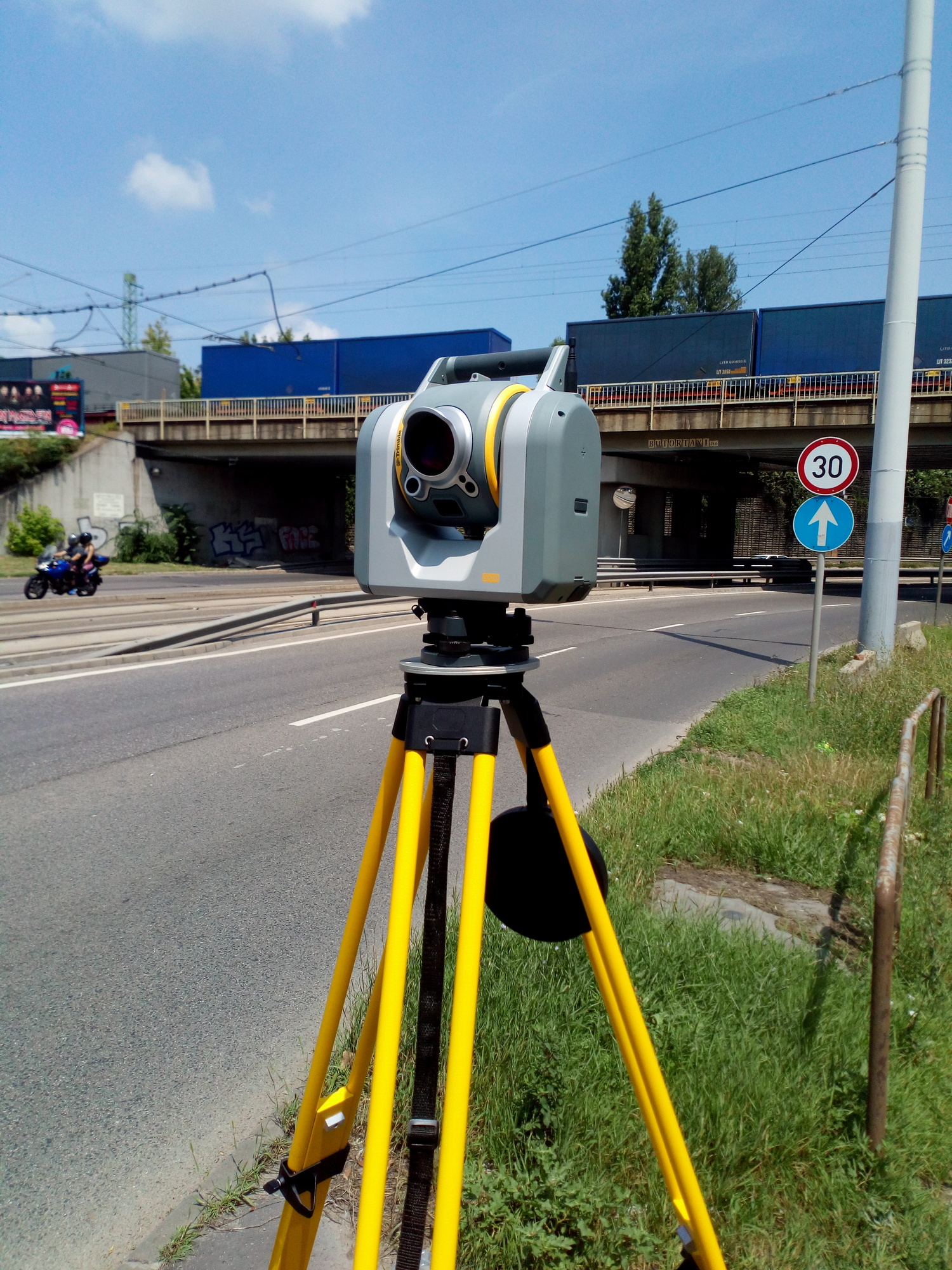
The SX10 Robot, i.e. a device with remote control, allows even one single user to complete whole range surveying tasks with it.
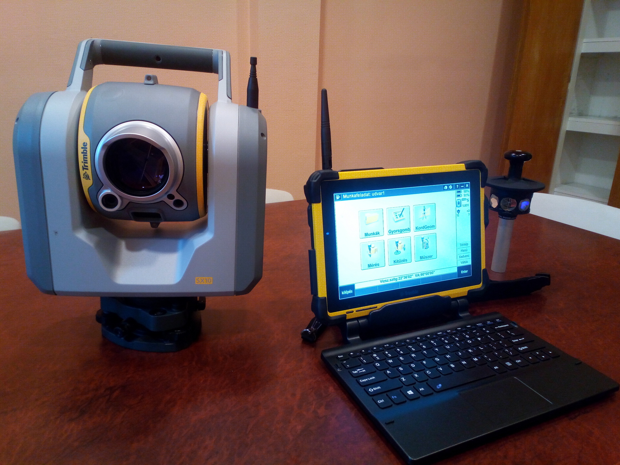
Data capture and remote control are made from a field tablet via WiFi (up to a distance of 100 m) or via spread spectrum FM radio (above 100 m).
Of course, the measuring station is suitable not only for prism but for non-prism distance measurement as well (DR-Direct Reflex). Its accuracy is 2 mm + 1.5 ppm and its range is 800 m.
The SX10 measuring station has a triple camera system, allowing the user to see on the controller display the same image the "instrument itself can see". Control of SX10, zooming, and precise pointing is made on a video stream, by tapping on the remote control's display. Measured data are also displayed here, so the user can see what he has already measured and what measurements are still to be carried out.
Besides the above, the cameras are also capable of documenting photographs, so record can be taken on every measured point and its surroundings, for easier further identification.
Trimble SX10 also has a 3D scanning option.
The user can choose from multiple resolution levels, scanning speeds is 26,600 points per second. The maximum scanning distance range is 600 m, the 3D accuracy of each point is 2.5 mm (on 100 m).
Thanks to the integrated cameras, measurement images can be taken when scanning, with the color information of which the resulting point cloud can automatically be colored. Scans from the different positions can be displayed, rotated and measured on the video image of the field controller's display.
Since the device is a measuring station, these are point clouds matched in absolute terms. That's why the user can identify on the site, from which position, what and where the scanning was made, and where there is a need to set up a new position or scanning.
The measurement results can be processed in a Trimble Business Center and in Trimble RealWorks. UVATERV C.C. Ltd. disposes of both software systems, so processing can be executed simultaneously from different aspects.
The manufacturer's softwares are suitable for automatic classification of point clouds. This is an outstanding way to automatically filter and exclude "noises" from an outdoor scanner, such as passers-by, or vehicles.
In the case of UVATERV C.C. Ltd. the point cloud thus filtered and matched, and the 3D model (mesh) derived therefrom, can not be regarded as a final product, but rather the initial datum of a resultant products required by the different engineering sectors.
.